Ganton to Filey Brigg

Our cab arrived at 9.00 to take us back to Ganton to start our last days walking.  The day has started out to be overcast, but by the time we started walking up the street f whitewashed houses in Ganton, the sun was out and the day was already warming up.  

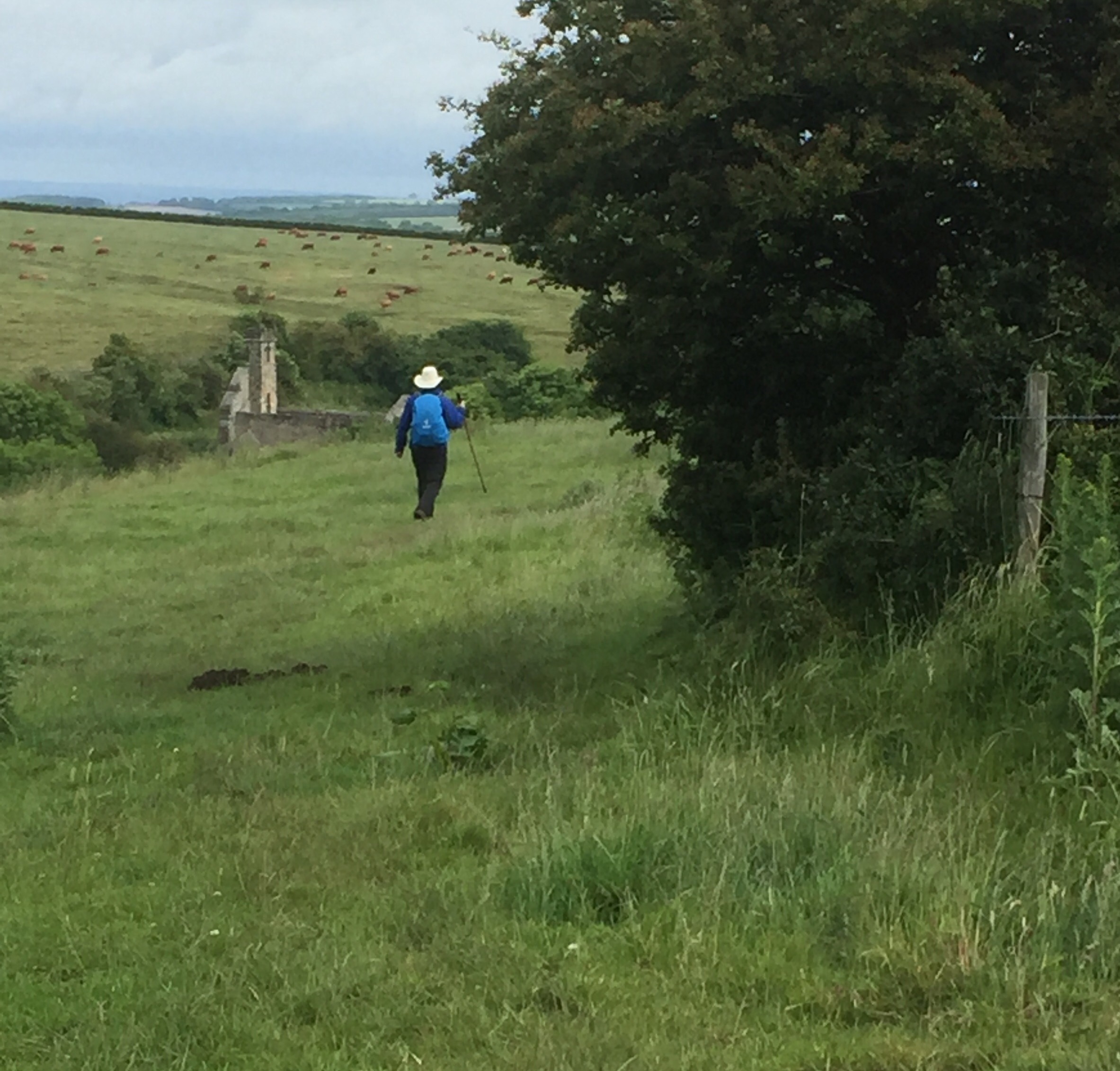
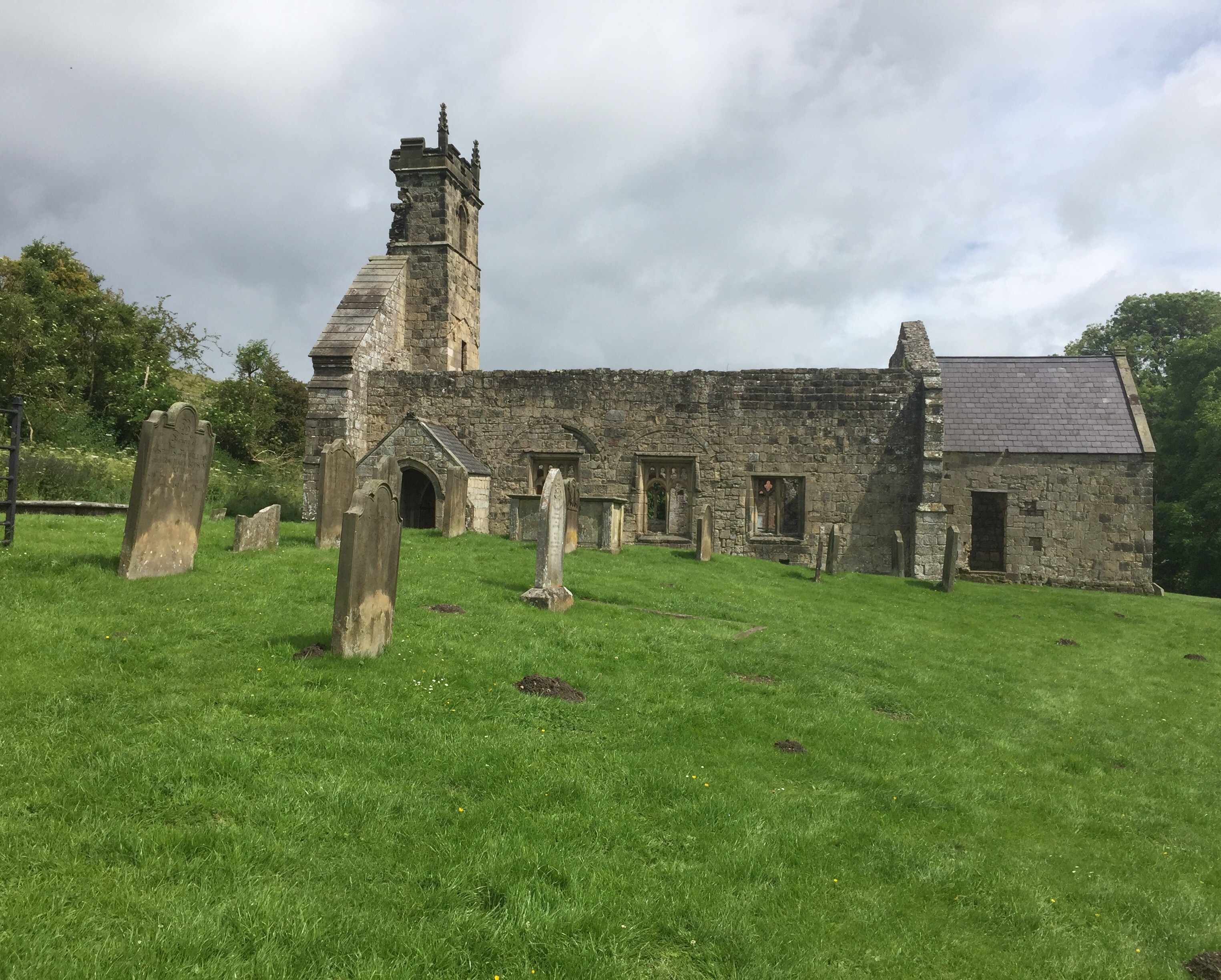
We turned off the Main Street and over the stream that runs down the side of the road.  After walking alongside a hedge with the spire of the 14th century Ganton church behind us, we turned up hill along a path that was quite hard work and set the tone for the day really.  


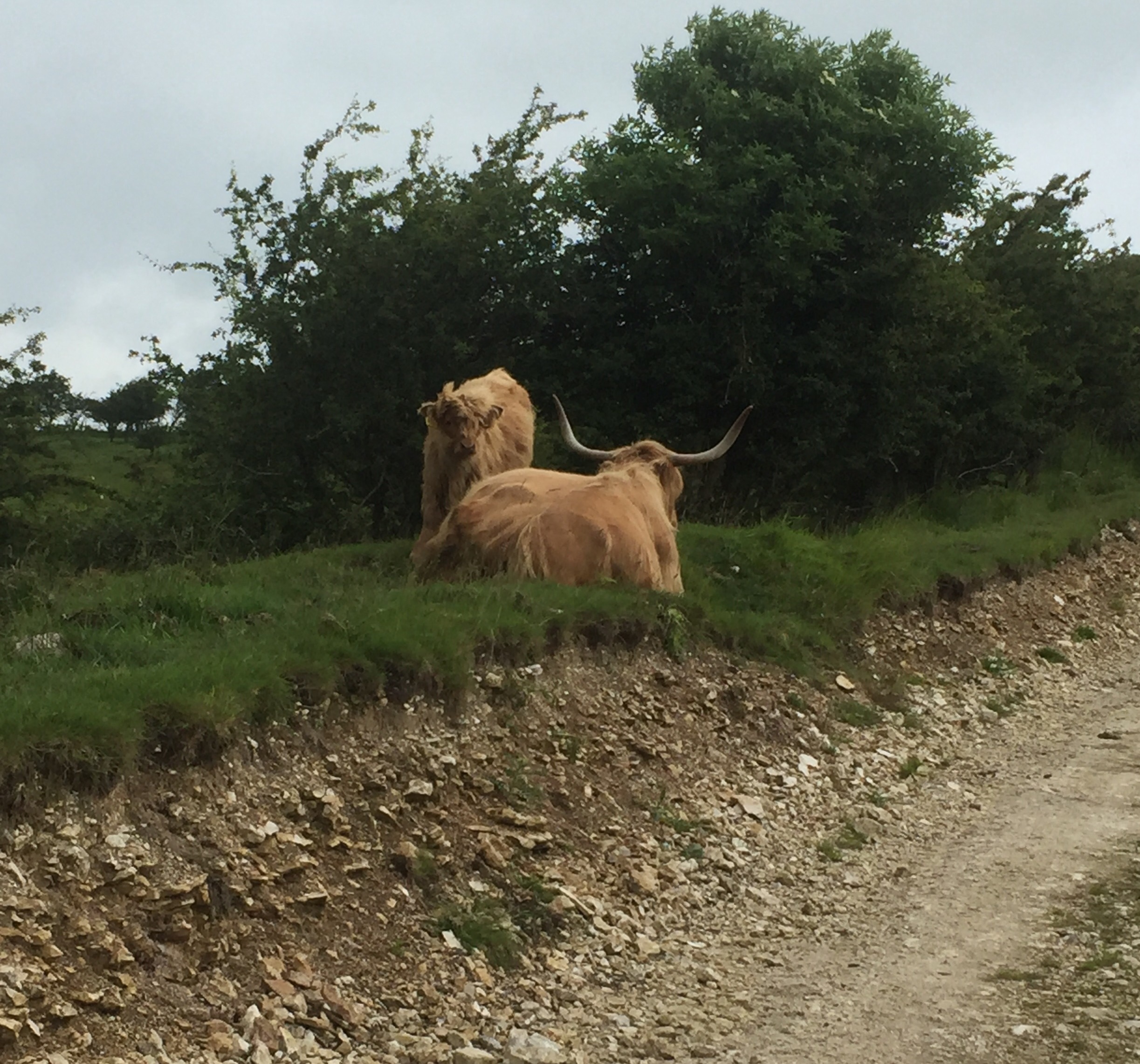
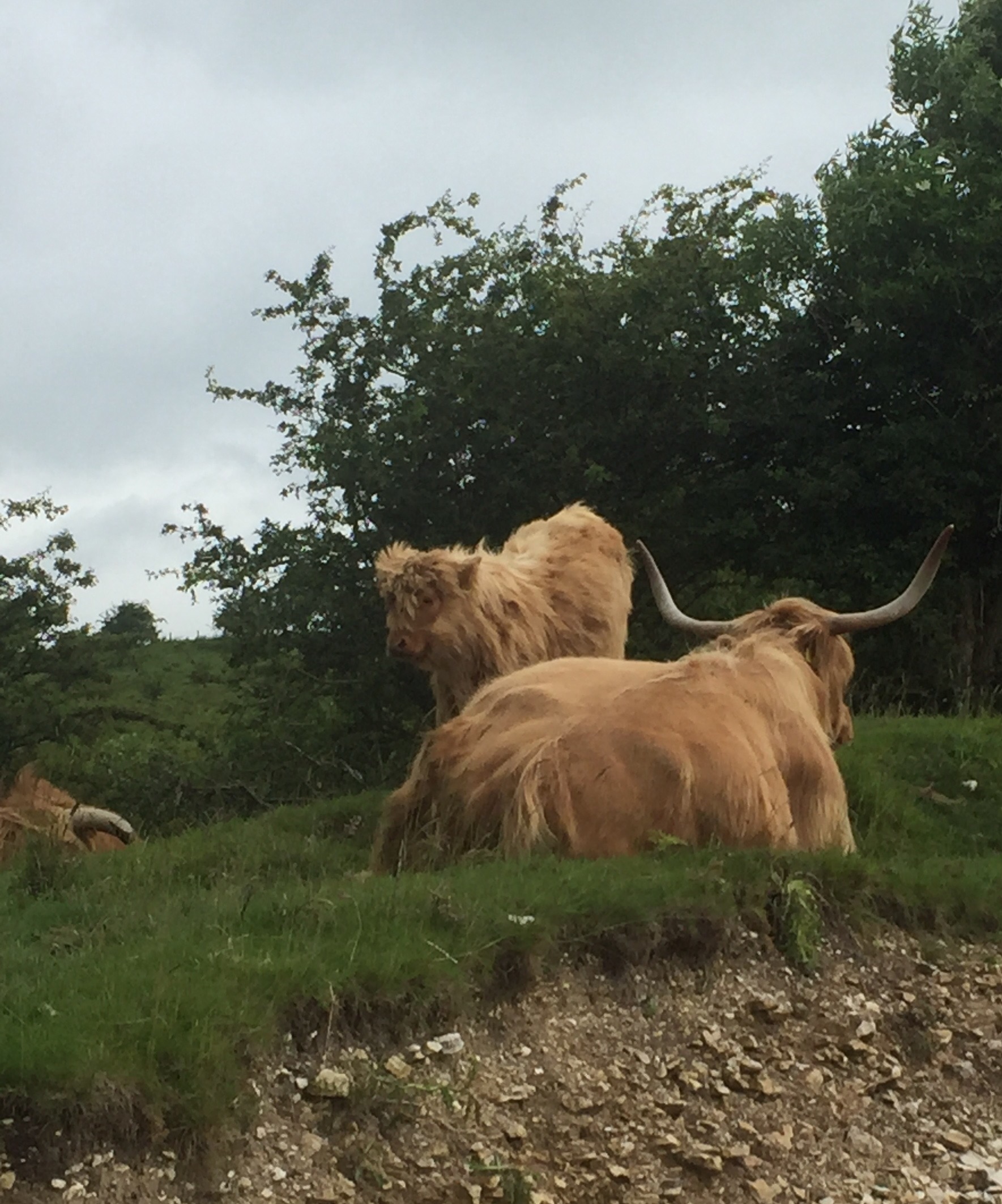
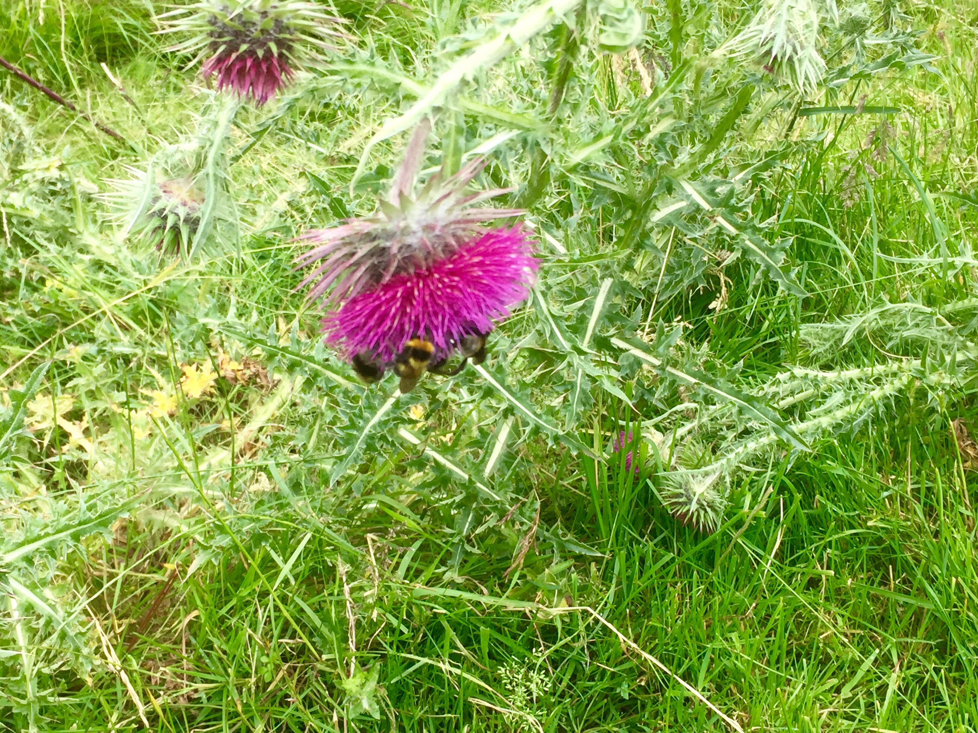
The ground was uneven and covered with grass, with thistles, burdock and nettles waist high on both sides.  We ploughed up the hill and then turned up past a row of gnarled old trees.  As we moved up the avenue a line of cows appeared on the hill top behind it. 


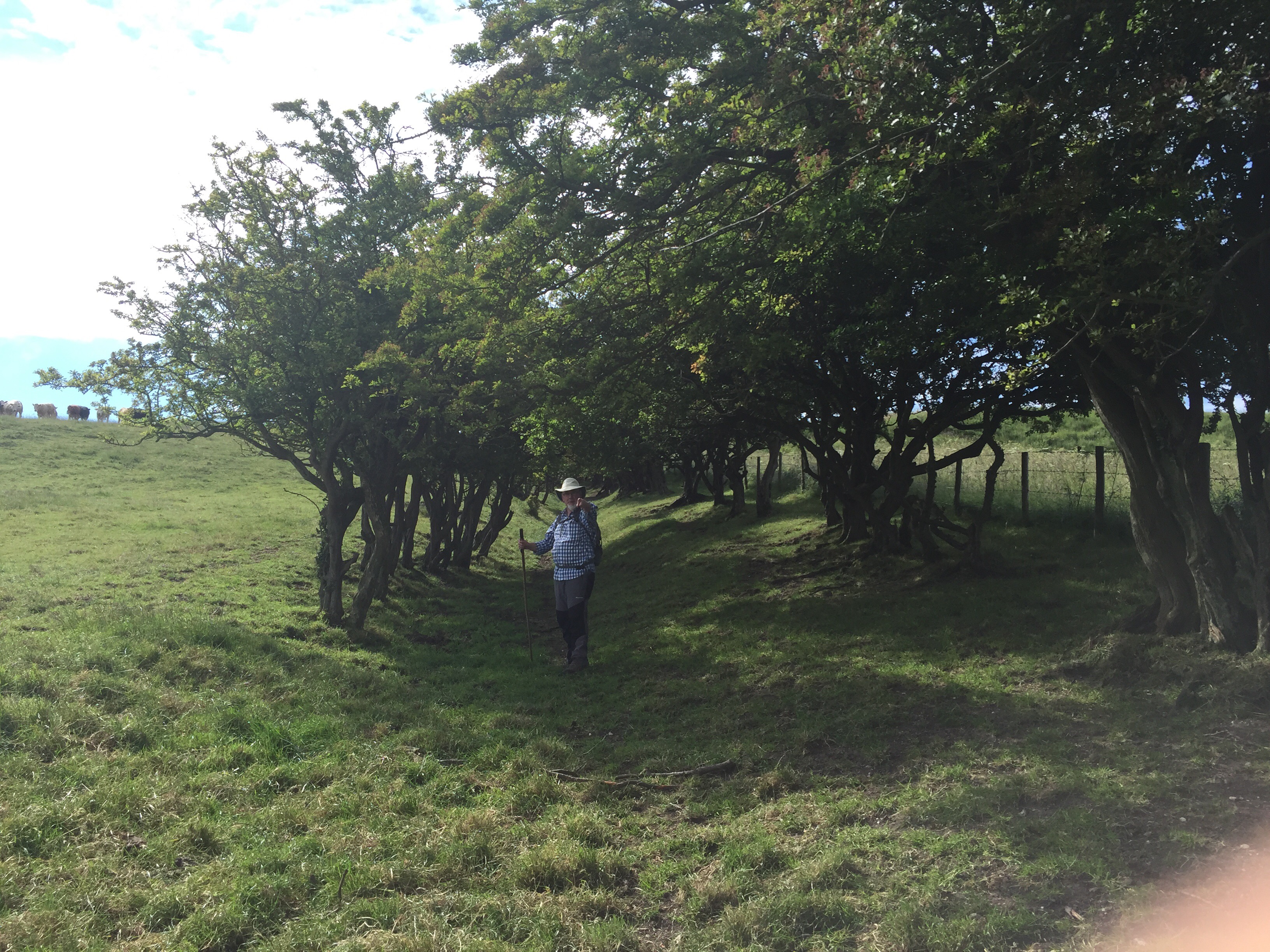
We turned left, right and then left again to reach a road. At each field edge we battled with the undergrowth, trying to find our footing along the path.  We were pleased to cross the road and follow a farm track for just over a mile.  We passed the farm and could hear the grunt of pigs as we passed.  At the end of the road we turned a sharp right passing an RAF station on our left.  The track continued along the perimeter fence with its dire warnings to anyone entering uninvited and RAF Staxton Wold mast.  It all looked very mysterious……

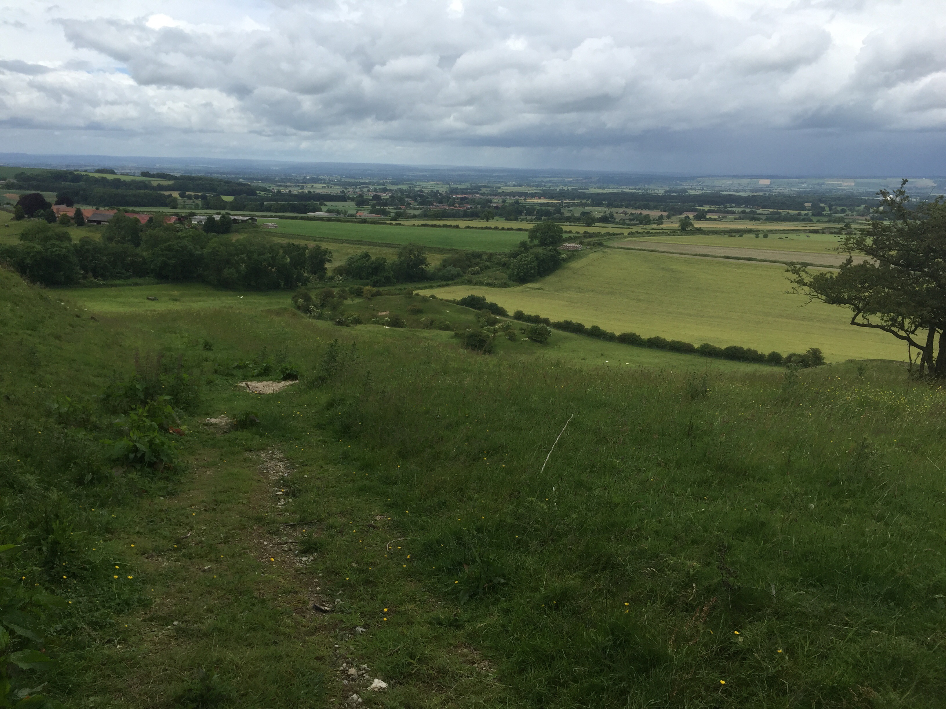
After passing a second pig farm the path deteriorated into a sunken path.  Just as it began to level out we took a left turn up a very steep hill.  It was really steep and slow progress as our feet slipped on the gravelly chalk.  We reached the top and after passing through two kissing gates and came out onto a wide landscape described as ‘wonderful but demanding’ section of the trail.  We ascended and descended the rolling hillsides And then climbed a steep field edge to meet another Tarmac road.  As we walked along I got my first glimpse of Flamborough Head to the left.  To the right was the rolling landscape we had just left behind. 

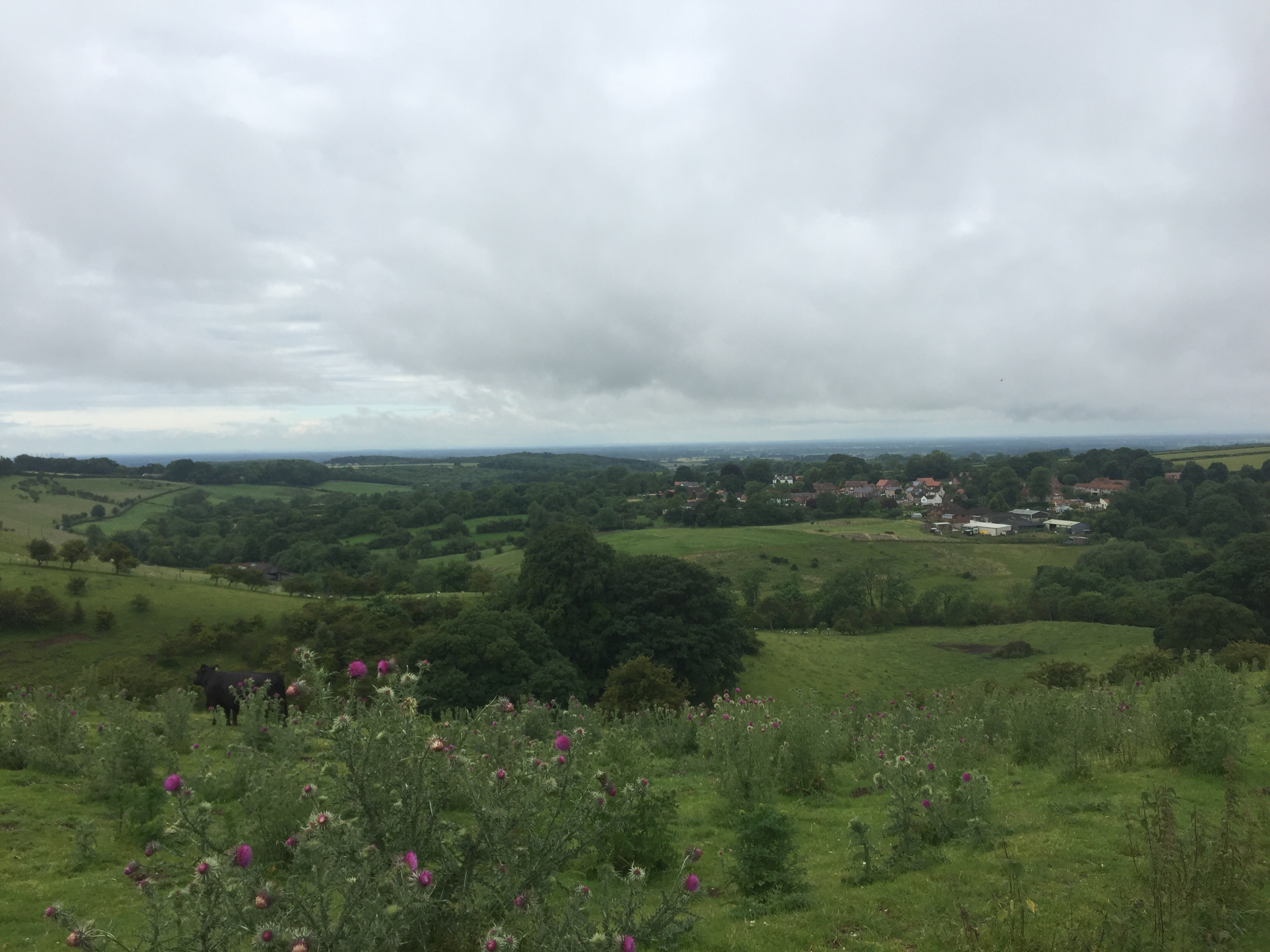
When we turned off the road about 350 yards further on we began the most difficult part of the whole walk.  The path had not been cleared so we struggled with the terrain, but after a big deep down slope and rise we then started on a big dog leg around the top of a hill with the slope of the hill constantly with one foot hitting the ground lower than the other.  It was very uncomfortable. Then to add to our discomfort a way sign appeared telling us we still had seven miles to go when we reckoned we had already done 7 and probably had just five miles outstanding. It was pretty discouraging. 


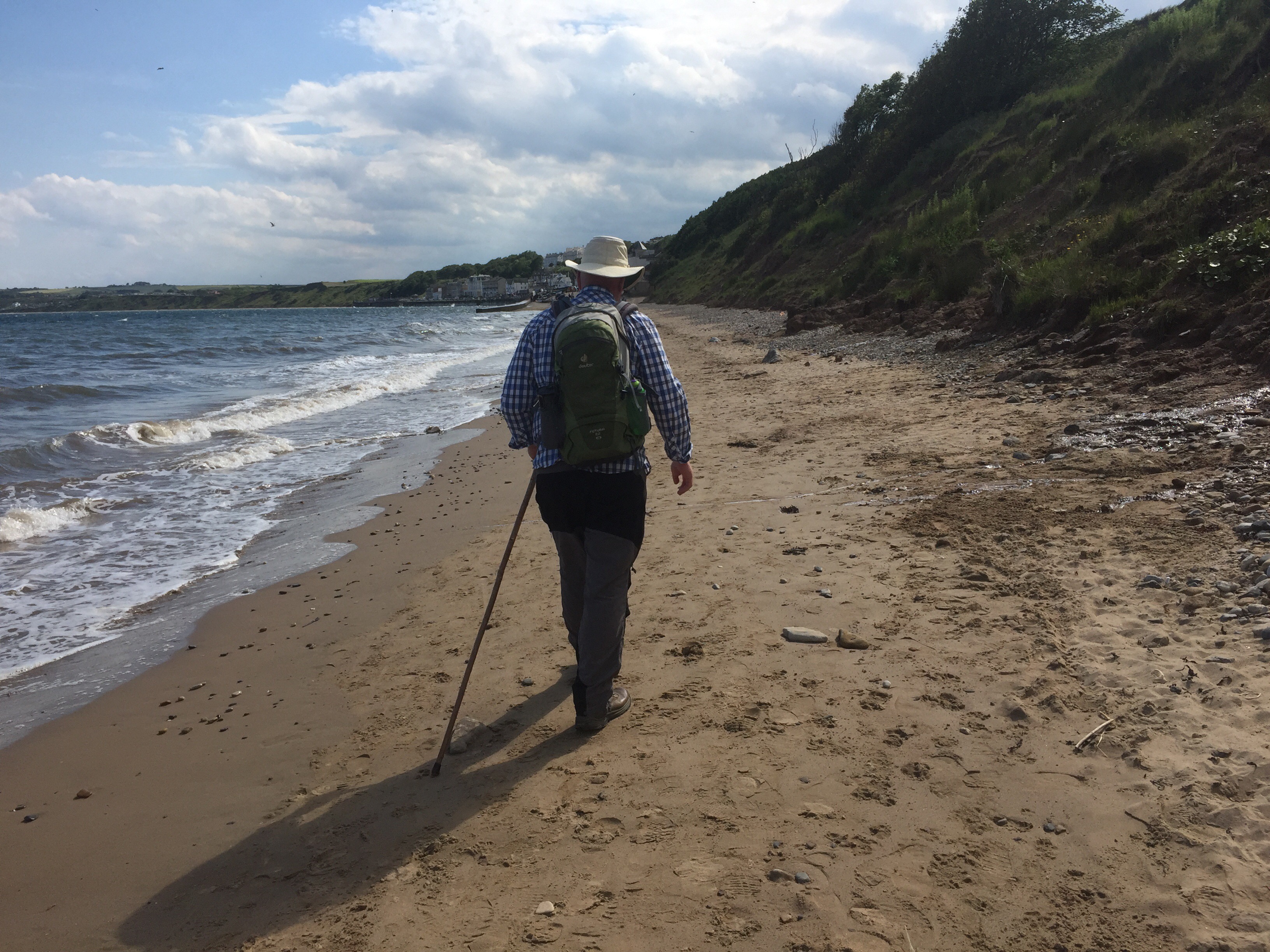
However, we kept going. Our route took us around the other side of the hill and we descended into trees.  We then walked along the valley under trees.  Eventually we came out onto the road.  It was such a relief but we went ahead on a field edge and more poppies!

Lovely!


At last we reached Muston and a sign that said 2.5 miles to Filey.  This did not tally with the previous signpost but seemed much more in keeping with our own measurement of time and distance.   We were both very thirsty and Muston was said to have a pub.  Alas for the second time the promised drink was to elude us – the pub did not open on Mondays!  We both felt pretty depleted.  

We took a a left turn just short of the end of the village and then set off over a couple of fields and eventually came out by the playing fields of one of the Filey schools. We were nearly there!  Emerging on to the road we got caught up with the young people coming out of school (at 2.30?!).  It was as though we had been caught in a movement of a pack of wildebeasts! There were large packs of long legged young men and women travelling at their own pace and occasionally crashing together in a flurry and nudging of school bags (what happened to the satchel?), shoulders and legs……. We felt very old and out of step!

We crossed the road as soon as possible and, having crossed the railway line, headed to the micro brewery we knew was on one of the main streets to the seafront. Closed on Mondays.  The despondency was increasing!  Having made do with liquid intake at the rather lacklustre Star we moved down towards the seafront and luckily found the steps that led up to the cliff top and our final objective – Filey Brigg.  After several flights of concrete steps up through the trees we came out onto the grassy headland.  The sun shone, dogs careered around and mobile homes were lined up to take the bracing air and make the most of the weather.  


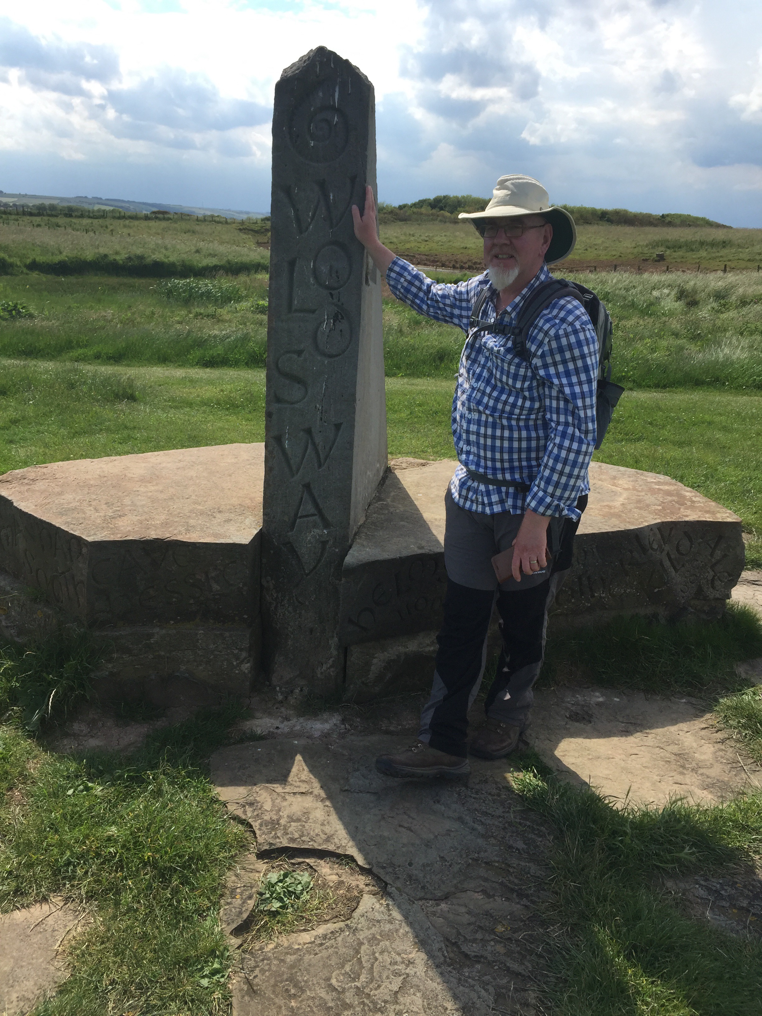
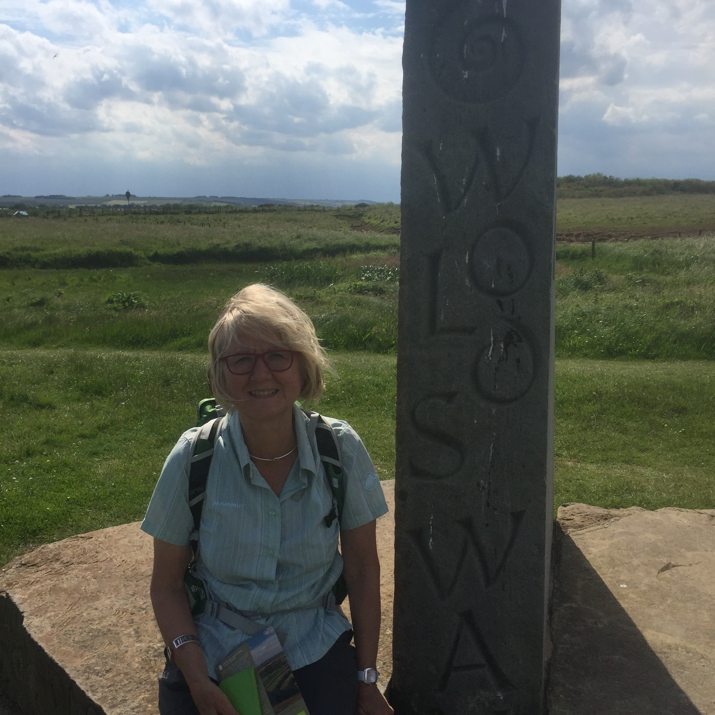
We arrived at the marker that denotes the end of the Cleveland Way completed at this point only a few weeks ago and the Yorkshire Wolds Way.  Photographs were taken to mark the completion of another long walk and we adjourned to the seafront to celebrate.  


Keith with a pot of cockles and me with a caramel fudge ice cream. Perfect!

Winteringham to Ganton

We left the Cross Keys and Thixendale, a really lovely village community, behind us and were taken back to Winteringham to start the day where we left off.  We said goodbye to Mary and thanked her for her many kindnesses and set off by the church.  Initially we took the field edge and then entered a wood and were confronted,  after a sharp right turn, with an extremely steep hill. The guidebook described it as ‘thankfully short’ but this was no real comfort as I slowly moved up the slope.  I think nothing described it better than the Wolds Way sign when I (eventually!) reached the top!


Having reached the top and entering a field through a red gate, we were at a spot I have visited previously.  It is another of the art installation of the ‘Wander – Art on the Wolds Way’.  It is called Enclosure Rites and it was a  lovely day on which to see it. The sun was out.  The Vale of Pickering stretched out in the distance………


I particularly love the gathering of people – pilgrims?


Turning back along the trail we were heading east – we have turned towards the sea having headed north more or less since we left the Humber Bridge.  I heard my first seagulls! Once again it was an ancient path lined with a gnarled old hawthorn hedge initially.  We then entered woods and walked amongst the trees for some time.  Emerging from the trees we contained on the same tack, turning up the field to pass around another wooded plantation.  Looking down from our ridge we could see East Hetherington village and the main road that was running parallel to us below.  


After passing  Manor Wold Farm and the road that was just beyond it, we continued along the path, often pushing our way through grass and nettles waist high.  It was quite hard going!  Keith had set his heart on a roast lunch at the Greyhound pub in Ganton where we were heading, so we were maintaining quite a pace. After several more ups and downs we came to a Tarmac road which we took for about a mile and a half before taking a left turn just north of the village of Sherborne.  At the end of this path we turned right on another quite busy road before turning off this at a left fork.  Another very steep hill but quite short lived before we turned off along a field edge and then entered a small wood.  Emerging from this we followed another field edge and eventually emerged on to a sandy lane on the edge of Ganton Golf Course, which amazingly has world class status!  Championship golf is played here and apparently a number of the top professional golfers practice on the course. Not many people know this!!  I have to say it looked slightly odd as there seem to be a pea field in the middle of it!  

Skirting the golf course we turned left again.  Ganton could now be seen ahead.  Keith’s roast beef was about a mile away!

We passed another farm and then reached a road to turn down into Ganton, just glimpsing Ganton Hall through the trees to our left. 

Ganton Hall is a large 19th century mansion and the seat of the Legard baronetcy, which dates back to 1660. 
Reaching the main road we found the Greyhound Inn with a table for two hungry walkers. Great! 

Last day tomorrow. 

Thixendale to Wintringham

Following a good breakfast at the Cross Keys and after dropping into the village shop for an interesting chat with the smartly bewigged lady behind the counter, we set off up the hill out of the village. 


Thixendale

Two young women came up behind us and moved on ahead. It was dull and breezy as we turned our back on Thixendale and moved on over the hill. We were surprised at this point To come across some highland cattle.  Busy taking a photograph of mother and son, I was somewhat surprised to see the head of an enormous bull, complete with large nose ring, appear over the bank……. I decided at this stage that a family shot was sufficient!


Mother and son……


First horns appear…….


……. And then Dad arrives!

We had not gone far when we came to a place where the path crossed to the other side of the hedge.   The girls had continued, chatting, along the hedge line. We shouted but our calls were lost on the wind.  We eventually emerged on the road and about 100 yards along behind us our lady friends had emerged heading in the wrong direction!  After fierce gesticulations on our part they got the message and headed down the road.  They were back on track. 

We moved from deep valleys to open fields.  After some ups and downs we found ourselves on a long stretch of green lane going straight ahead for over a mile. There were wonderful views to  the north. The weather was fickle – one moment rain and the next sun emerging from behind the cloud. 

Passing through a field gate we started to descend into the deserted medieval settlement of Wharram Percy.  There is evidence of at least one Iron Age house here in addition to a Roman Villa. The village grew under Anglo Saxon settlers and for three centuries it had a population of circa 150. Unfortunately the Black Death and a change in farming methods led to the village being deserted and it is thought that the last house was abandoned in 1500. The first thing to be seen was the skeleton of the church appearing over the slope of the hill.  We then descended to the fish pond, beautiful in the sunlight and then the grassed over foundations of ancient peasant houses.  A lovely spot. 


We then moved on, taking the route up through the tall grasses beside the path up to the car park for Wharram Percy and out onto the road.  The sun which had come out for the medieval village fast disappeared and it started to rain. After a fair bit of road walking we turned down into the small village of Wharram Le Street.  We then struck out to the right of the road that made up the village on the bridle way that wended its way up the hillside away from the road.  At this point the two young women and two elderly gentlemen ( who put their umbrellas up against the rain where upon the said umbrellas more or less immediately blew inside out – I wonder if they have tried anoraks with a hood?!) who we had also seen along the path were ahead of us.  

Not long after this, the girls had missed another turn off and we had brought them back on track and the elderly gentlemen were disappearing up the path on the wrong side of the hedge!  We all shouted to gain their attention and were then concerned to find them trying to climb the fence.  They were eventually persuaded to walk back the 100 yards to the turn to get it right. What extraordinary behaviour!  Dear me!  They were all hopeless!  The route is very clearly marked.   It felt a bit like the hare and the tortoise! 

After crossing a road we were moving upwards and after a turn down to cross a small beck we were heading upward again. We were travelling over farmland and eventually came up to farm buildings where I was amused to see a kayak parked.  Flooding up here seems a little unlikely!  

The views were broadening out …….

In the distance, beyond the vale of Pickering, the North Yorkshire moors could be seen on the horizon. 
Our route then took us along the edge of woodland and eventually down a long field edge.  Winteringham, our objective for the day, could be seen ahead.  A turn to the right at a reservoir and we entered the village. 

We headed up the road to the Wolds Way Lavender Farm where we had decided we would be collected by our Cross Keys chums who have been found to be great hosts.  We had one of the best cheese scones I have ever encountered while we waited.  Yummy!

Millington to Thixendale

Before I start to recount today’s excitements, I must just have a post script on yesterday because in my keenness to recount our disappointment regarding the pub being closed, I omitted to mention the dog memorial!  Just as we gained sight of Millington we came across a wooden chair by the side of the road dedicated to the passing of Max and Benson in rather quick succession over the last couple of years.  Very sad. However I feel it a bit over the top that their toys should be left around the chair…… Extraordinary!


So back to Laburnam Cottage, Millington, where we had passed the night and from which we watched the heavens open just before we set off to walk the 12 miles to Thixendale.  Not a good start.  However, loins girded we set off. It was no longer raining but it was a dripping world and very wet underfoot. Our route initially followed the Minster Way, another route over the wolds, to get us up onto the Wolds Way as it followed a fence line along the hill above the village.  To ease the climb, we followed the chalky farm track that zig zagged up the grassy bank and eventually reached our path as it passed behind Warren Farm.  We were back on piste and looked back down on Millington. 


We then had a straight stretch overlooking Sylvan Dale. It was an area hardly touched by plough or fertiliser.  Wild flowers, butterflies and birds were the result.  We looked down and then descended into the the valley below.  It was then up again, probably the steepest slope of the walk thus far.  At the top,  we followed a field edge for some time.  A constant was evidence of Iron Age activity in the major earthworks that ran parallel to the path. We were walking through the landscape of thousands of years ago.  What a privilege! We descended again and then took a more gradual path up. The views were amazing.  We crossed a road and continued through meadows with the road below. The grass was drenching. We arrived at a cross roads and turned left down the road and headed up passing a sign to Northgate Farm after passing a walking group coming the other way.  The views to York Minster and Lincoln Cathedral advertised in the guidebook did not quite materialise as they disappeared in the mist of the horizon. The trees along our path strained in the pressure of the prevailing wind. Before Northgate House we took a turn to the left and were soon at the top of Horse Dale.  We walked along the top edge of the valley. Below sheep walked a parallel path along the bottom of the valley. 


We gradually descended to the end of the valley below and saw thistles bowed down by bees keen to take the nectar of their flowers. There were four or five bees per flower head.  


It was a long valley bottom as we moved into Holm Dale and continued ahead with steep escarpments on either side.  At the end of the Dale we came out onto a track that took us down into the village of Fridaythorpe.  Here we took a slightly unusual turn as we abandoned our handful of nuts that constitutes our usual walking lunch and took advantage of the usefully placed Seaways Cafe (the sign included leaping Dolphins slightly unusual in a totally landlocked Wolds village!).   This was a bikers cafe if there ever was one, complete with leather clad elderly motorcyclists sipping tea from big mugs outside, their trusty metal steads coralled in rows beside them.  It was very exciting although difficult to maintain my ‘ no bread’ stance in the face of everything you could wish for in a sandwich!  I survived! Fridaythorpe is about half Way between Hessle and Filey. 

Back on the road we returned to our sign posts and having passed the designer bus shelter by the pond (part of the Wander – Art on the Wolds Way scheme) and the almost derelict Farmers Arms another sad casualty of the lack of profit in pub management we headed out into the country once more. On the  way we passed a huge modern grain mill and set off through several fields in bright sunshine and eventually descended into the jolly named a Brubbers Dale. More poppies were a delight….


 Unfortunately the sun had long since disappeared before we reached the artwork at the junction between Worm Dale and Thixendale Dale.   It is called Time and Flow.  I was very excited at the prospect of it coming up and found it interesting in the event.   Mr Gregory was not convinced……..!  He might have liked it better if the sun had been shining but I doubt it.  Time and Flow coming up ………


The ‘event’…….


Having passed the art we walked the beautiful Thixen Dale thought to be one of the most enjoyable parts of the route.  It was lovely and I particularly enjoyed the sight of a single sheep parked beneath the enormous trees along one side of the path.  It looked as if they had booked their places!  


As we neared the Thixendale village we passed a clay pigeon shooting group – the sound of the guns ricocheted off the valley walls.  The sheep munched on.  

 Very soon we reached the turning for the village – and almost immediately we were at the Cross Keys pub, our accommodation for the next couple of days.