Wednesday, 25th November, a bright sunny day, 24 degrees Panama Canal
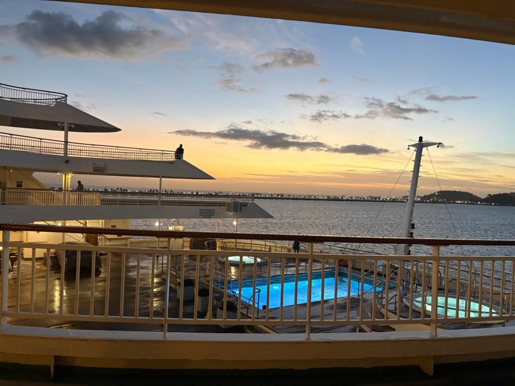
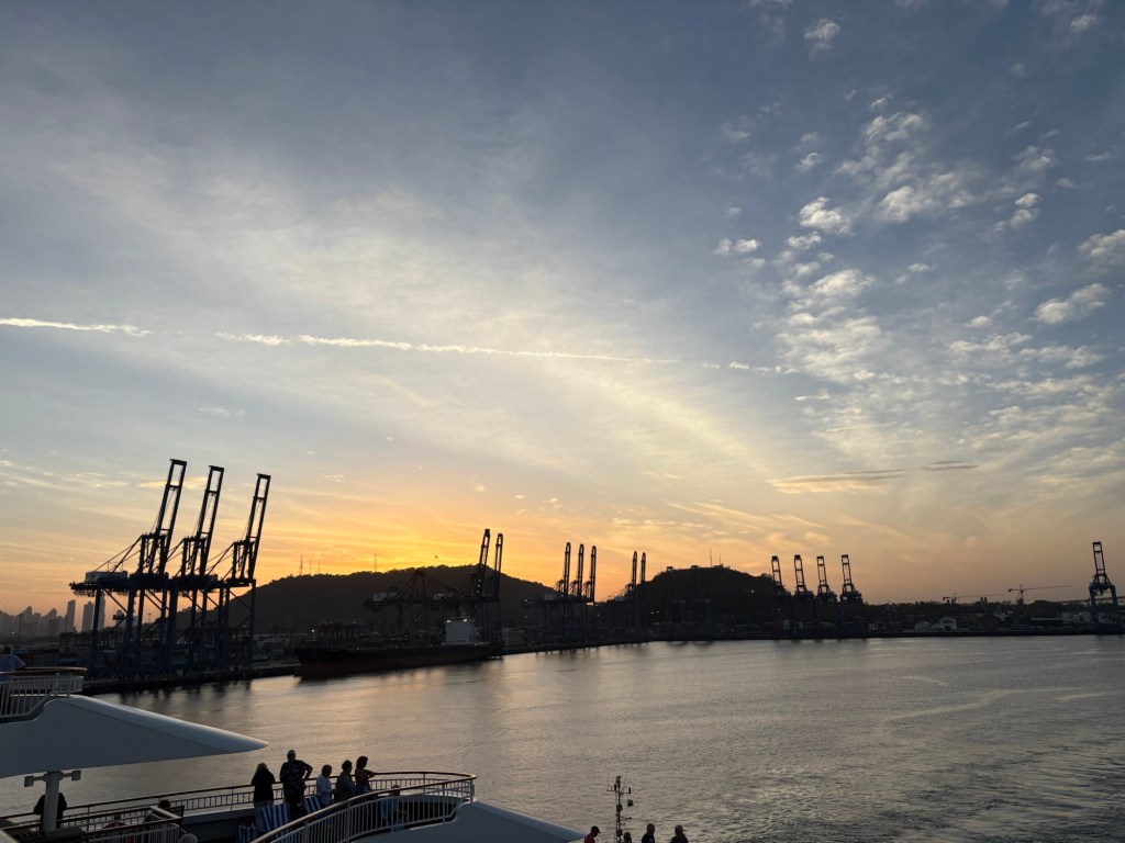
It was a beautiful morning and we did not want to miss a thing! So we had breakfast at 6.00, by which time the two pilots required to steer the ship through the canal had already come on board. We had moved off our berth at just after 3.00 a.m. We had breakfast as the sun was coming up over the back of the ship.
I talked a lot in yesterday’s post about the Panama Canal so will deal more with the mechanics as we experience them today, but I thought a map might be in order. (I should perhaps just say that the Panama Canal is considered one of the wonders of the modern world and we were very mindful that few people ever get to experience it.)
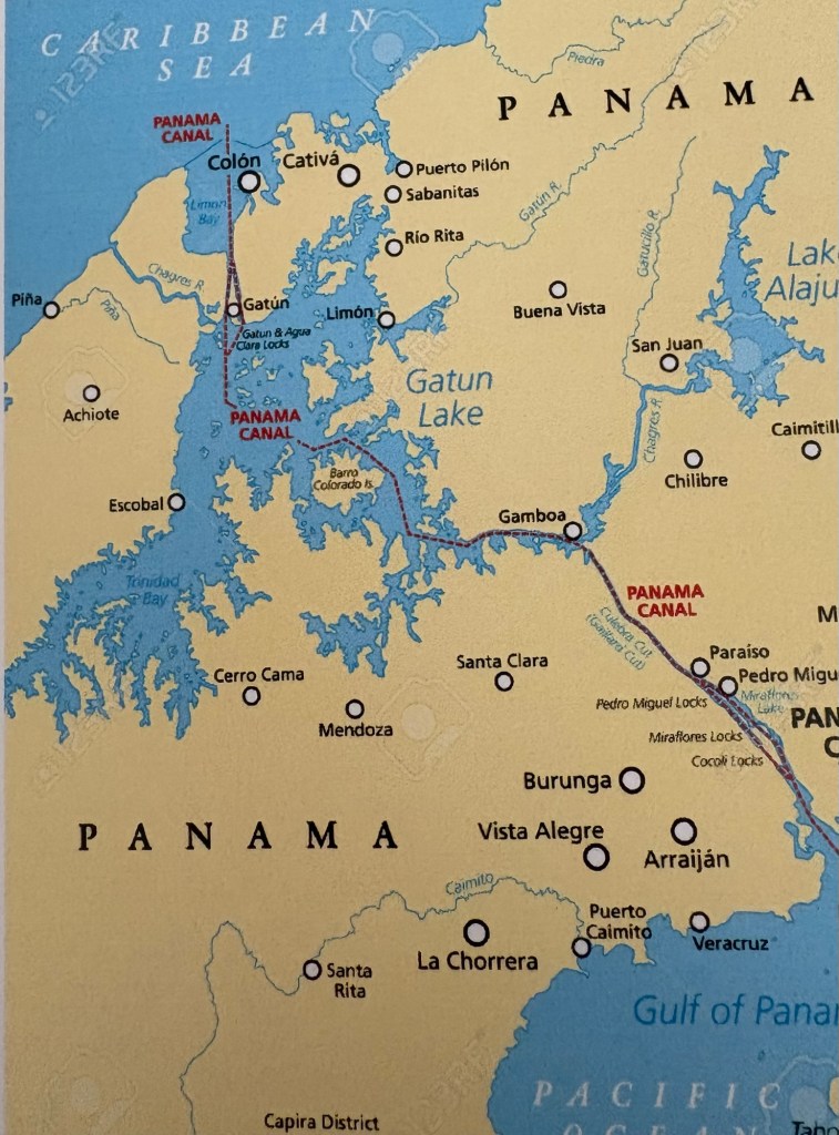
From the map, you can see that although I, in my ignorance, thought the canal ran West to East, it does in fact go south to north the way that we are going. If you look at a bigger map you can see that the Isthmus of Panama (with thanks to Miss Springate my geography teacher who taught me about such things all those years ago) is a narrow land corridor that links North and South America and also separates the Caribbean Sea from the Pacific Ocean.
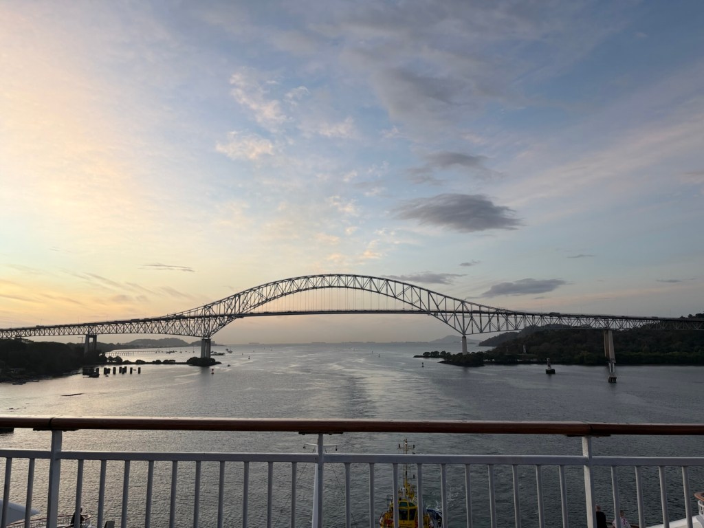
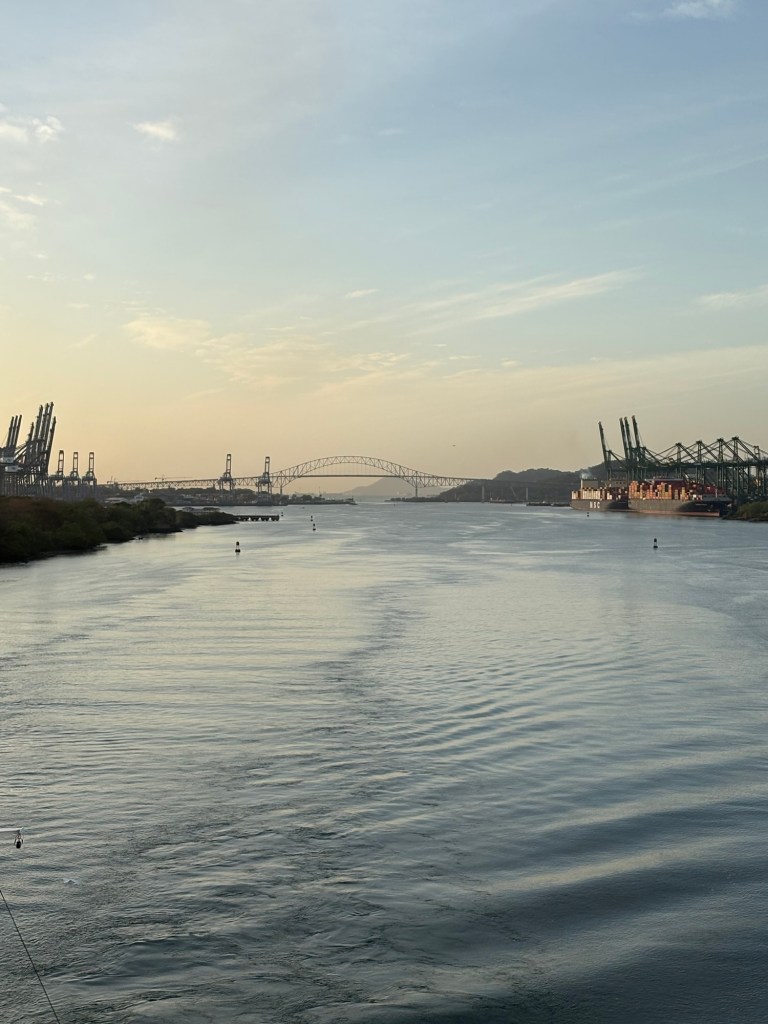
Anyway, to get back to our journey. It was to be an extraordinary day. We were duly positioned to go under the Bridge of the Americas, a substantial steel and concrete structure. It provides a clearance of 201 feet – if ships are bigger than that they have to go through at low tide.
Just after this bridge there is a container terminal which allows containers to be transferred to a railway line that can deliver them to the Caribbean Sea, thus saving shipping companies the exorbitant fee for going through the Canal – they just need a ship on both sides! The terminal had the iconic cranes that we have come to know and love!
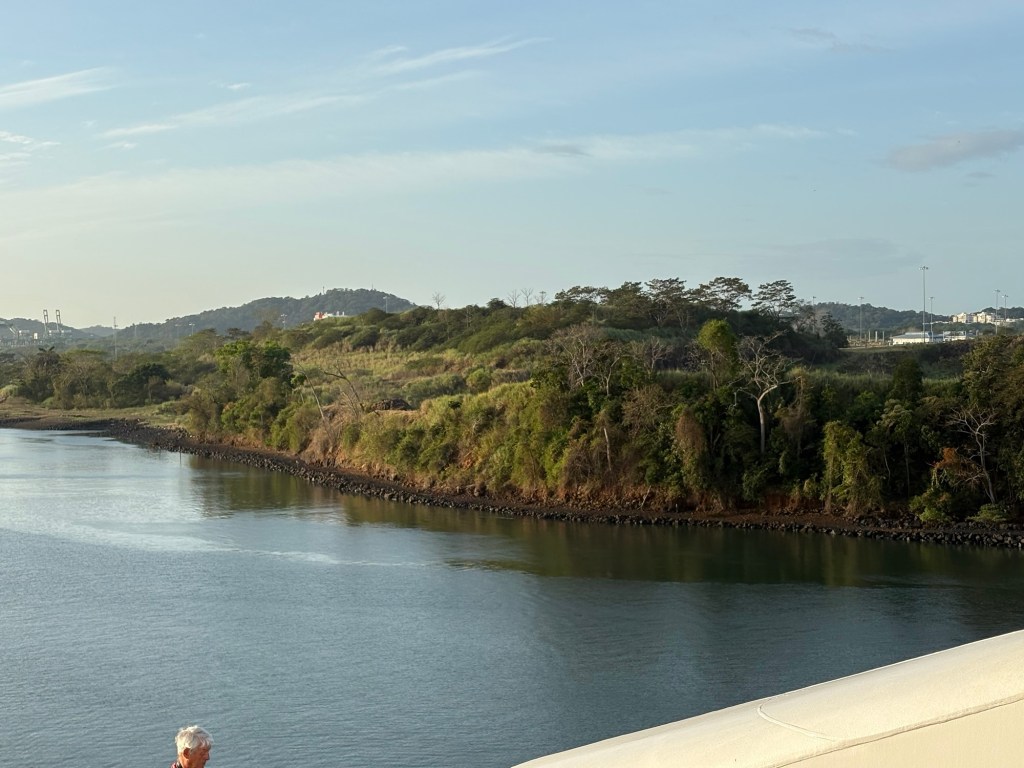
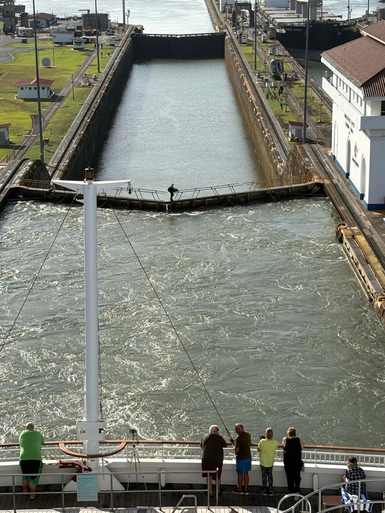
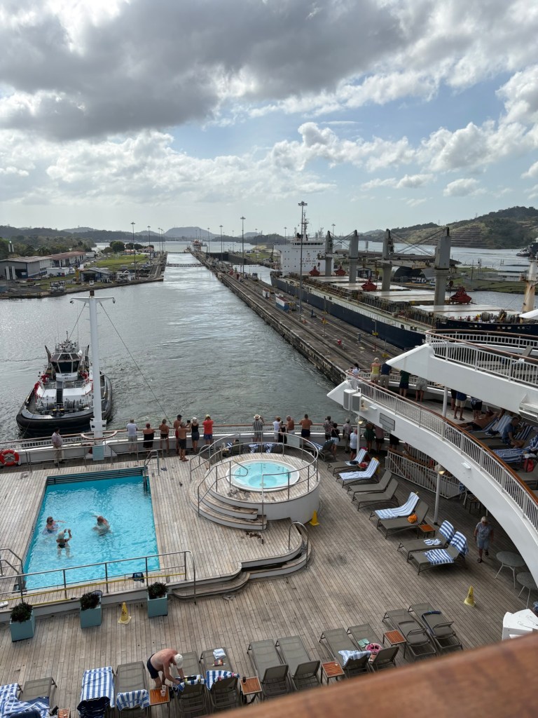
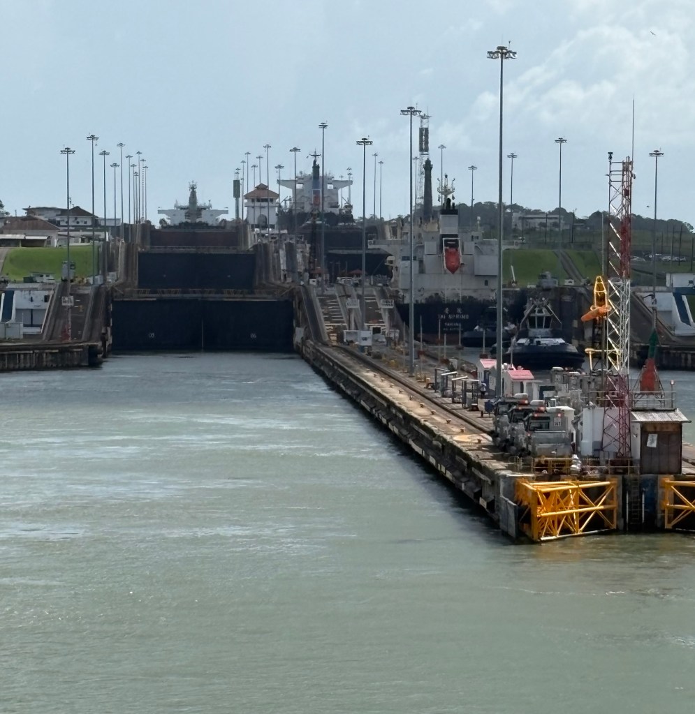
Next up were the Miraflores locks which have two steps to take us up 54 feet. I was surprised at how rural the banks of the Canal were once we had got through the container terminal area. We were able to see and American crocodile and a couple of deer on the canal side.
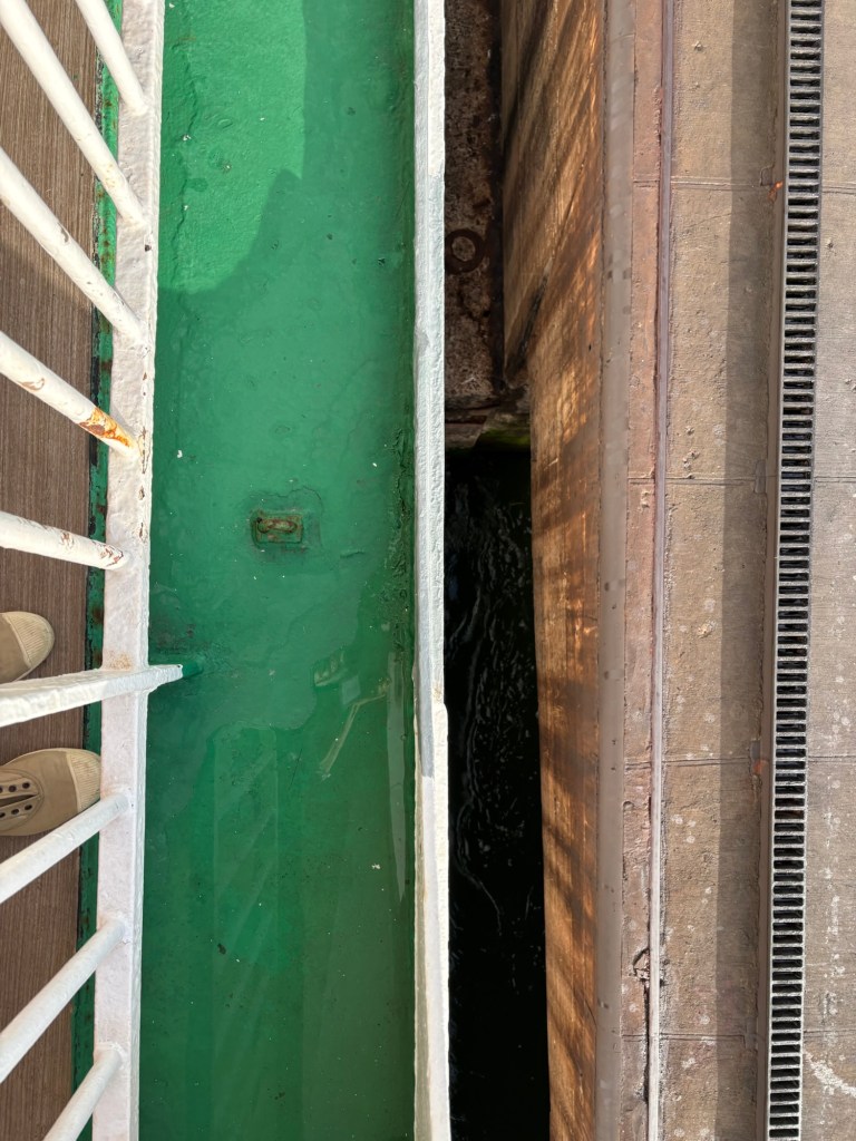
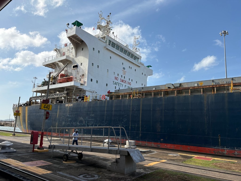
Once we got into the lock it was a very tight fit, with only a few inches either side of the ship before you got to the concrete sides of the lock
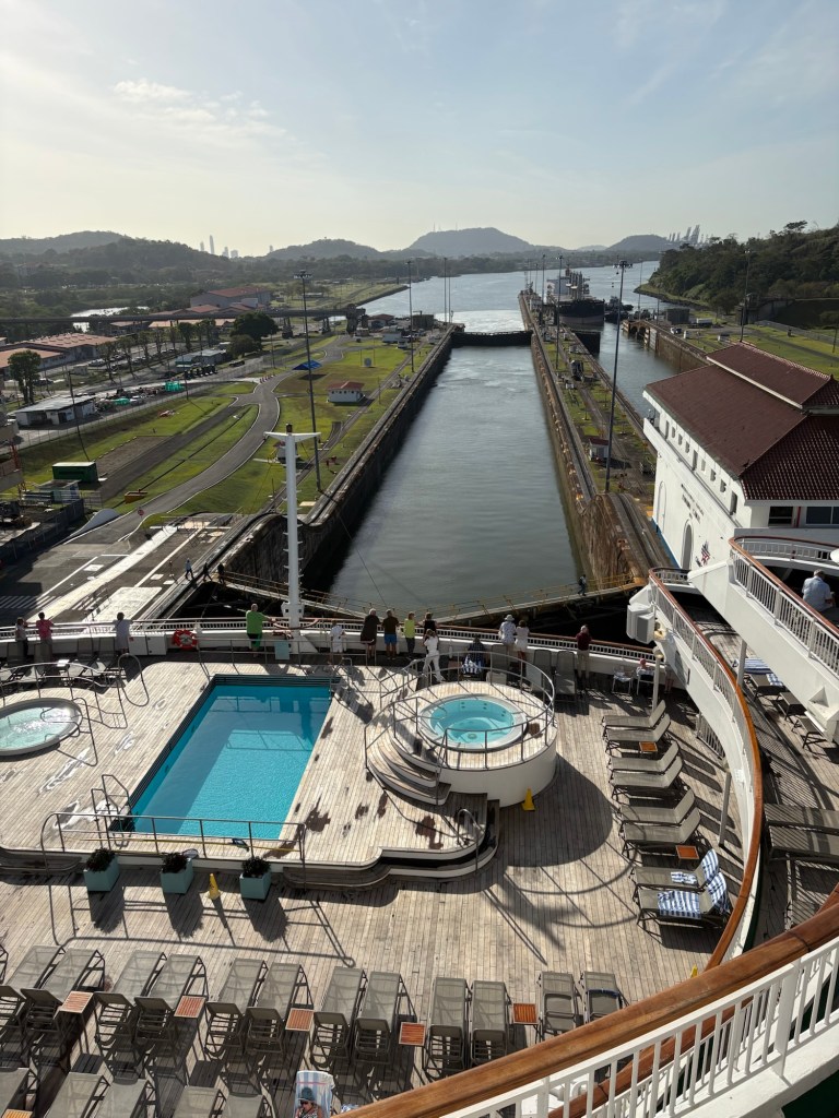
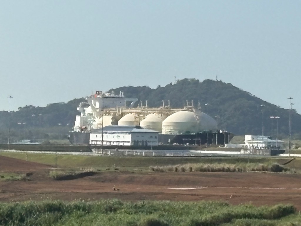
The Aurora is considered quite a small vessel and so you can see there was a need to accommodate larger ships. An enormous natural gas carrier was entering the new larger lock as we travelled along the system and it was awesome in the true sense of the word. We are definitely not in the big boys league!!
A nice touch in the Miraflores lock was a viewing platform that allowed people to watch the ships go through…
Waving is a funny business though isn’t it?!?!?
There were two lanes of traffic in the original Panama Canal system so we were able to watch as ships went through the process the other way. The canal works 24 hours a day and although it originally moved 1000 ships through it a year, the number is now nearer 14,000.
Just a little point of detail here that I found fascinating, with all these big ships and mechanical ‘mules’ (I will show you these later!) and hydraulic systems, in every lock there was a little rowing boat!
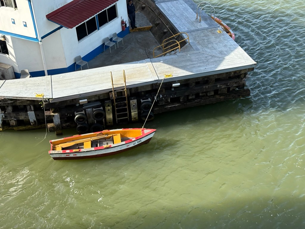
It seems that these are still used to pick up the lines from the ships and get them to the lock walls. Now isn’t that a nicety in the midst of all that engineering?
Moving out of the Miraflores Lock we were in the Miraflores Lake so the canal widened out and there were boats either side to keep us in the channel. Apparently there is an ongoing issue of silting up and there was frequent evidence of dredging to keep this at bay.
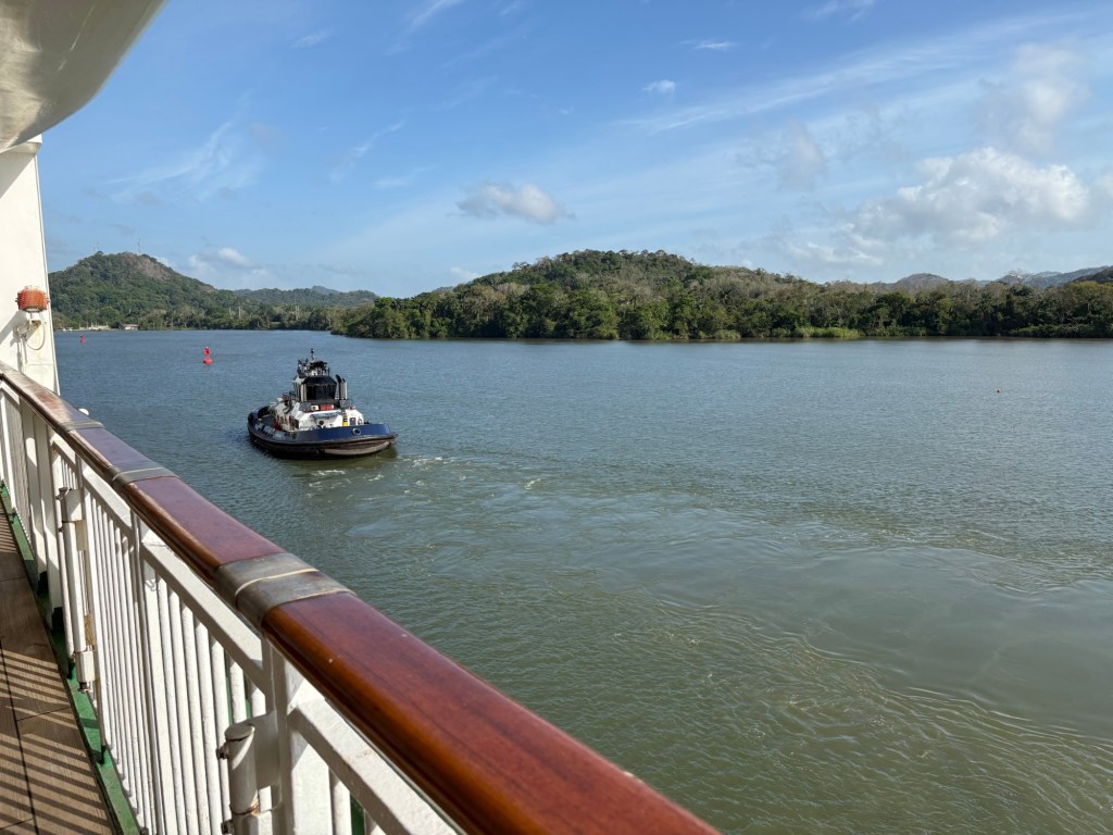
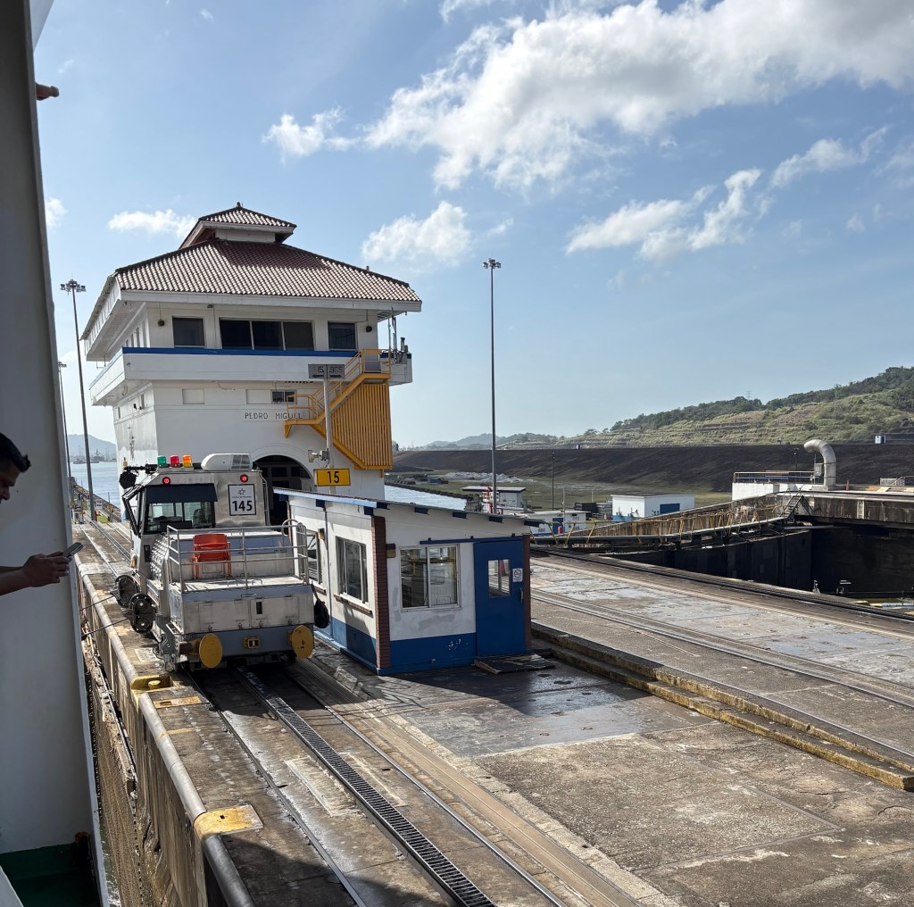
Our next lock was the Pedro Miguel Lock and here we had a companion ship in the other lane which was going the same way as us, The ship Berlinda that I think was some sort of tanker.
Coming out of Pedro Miguel we came to the Gatun Lake and soon came to the Centennial Bridge which forms part of the Pan American Highway which runs all the way from Alaska in the north to Ushuaia in the south.

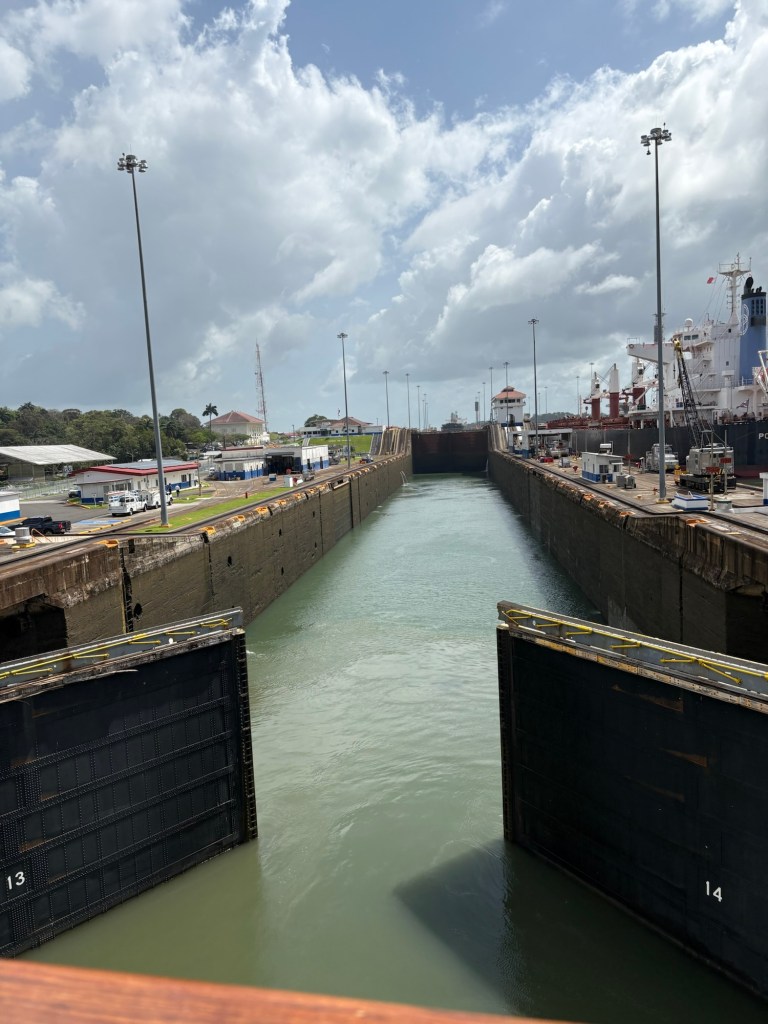
There is a sort of sedate progress through the locks, as with so little wriggle room, the ship has to be in exactly the correct position to move through – and this is where the ‘mules’ come in. These are electrically powered towing locomotives that run on rails on both sides of the ship and are attached to the ship by wires. They effectively steady the vessel through the lock.
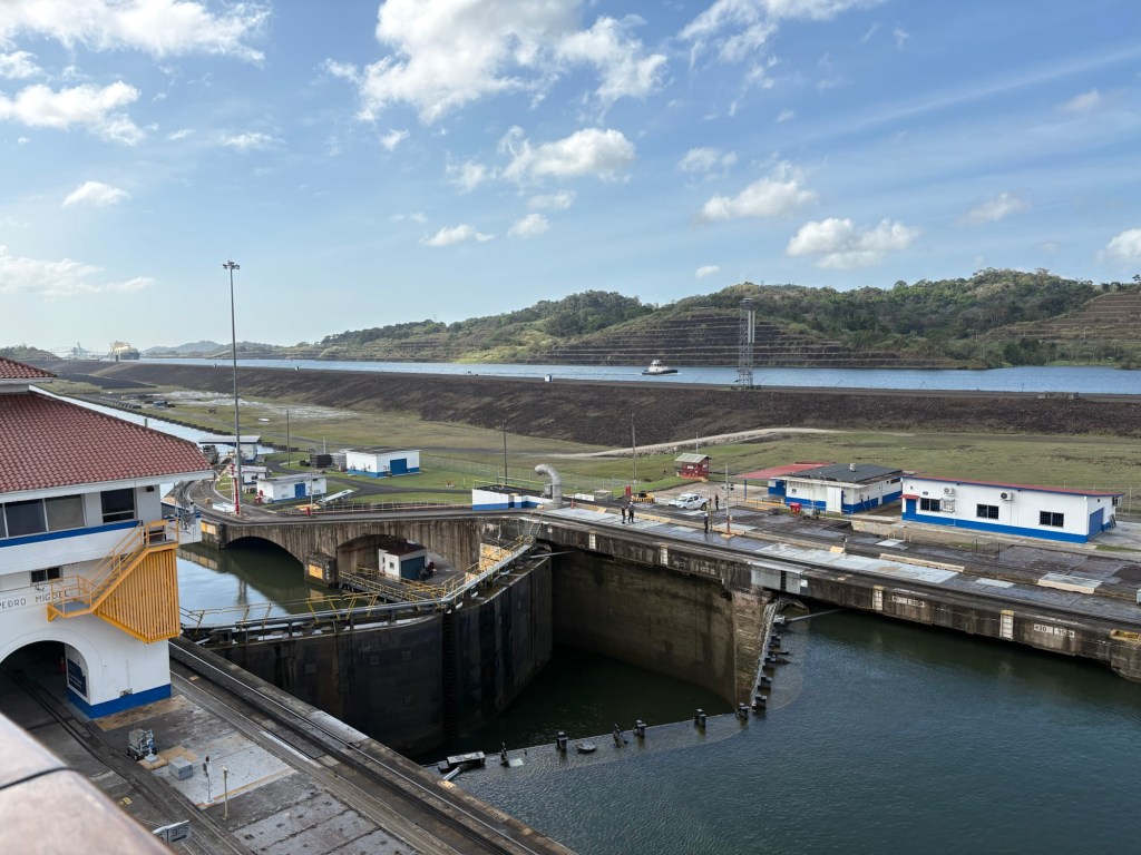
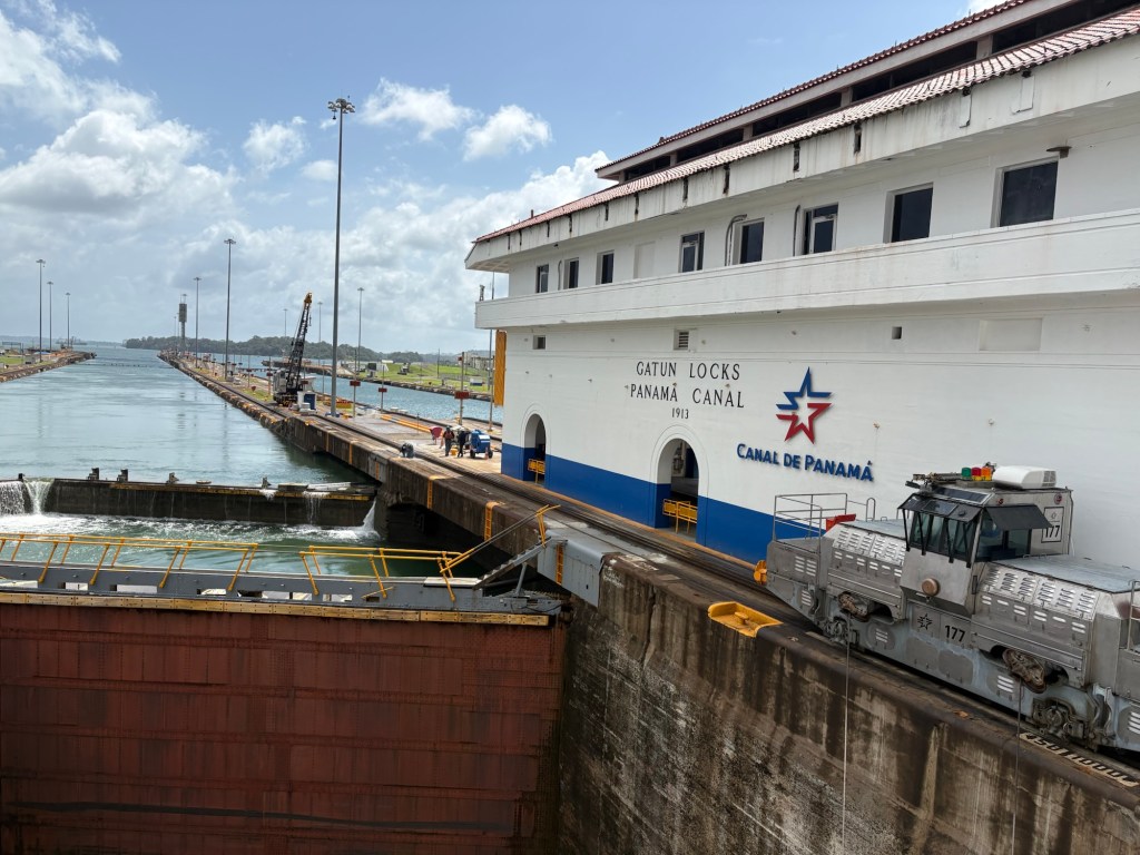
We had now reached the highest we needed to be and at the next locks – the Gatun Locks we had to descend to the level required to join the Caribbean Sea. These locks had to be created out of a hill and involved major excavation. They consist of three chambers or steps and each level must be safely completed before the next drop.
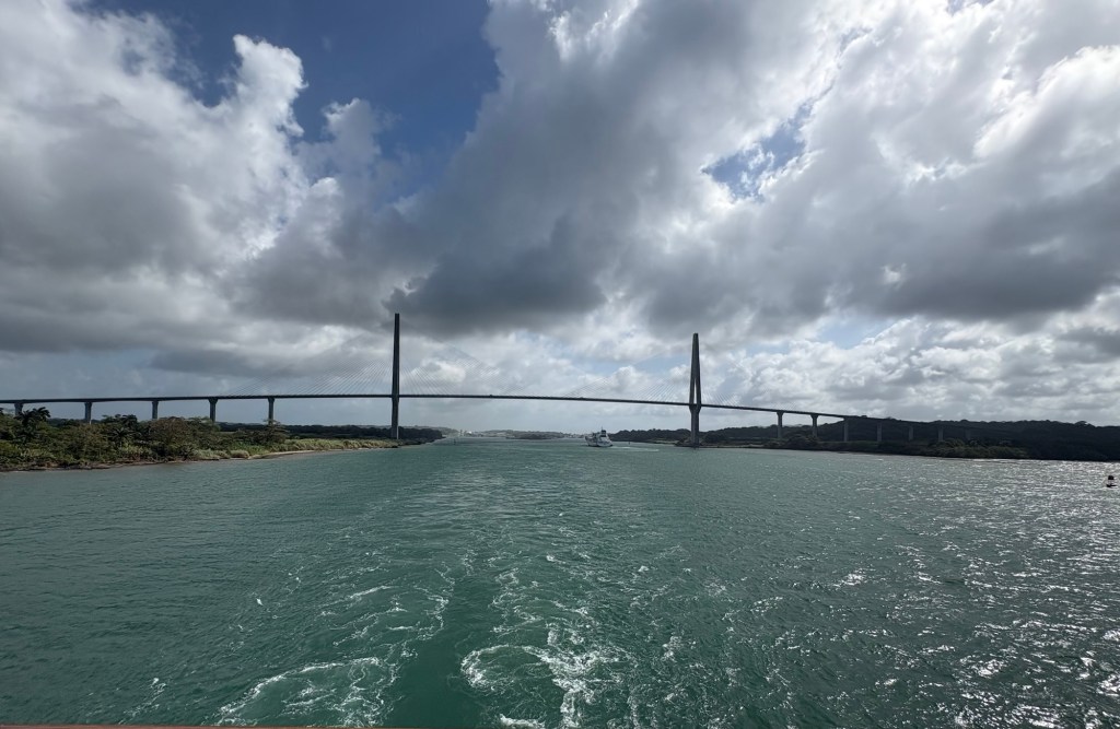
Having safely exited from the final drop we were out on open water and finally approached and went under the Atlantic Bridge and were in the Caribbean Sea.
It was a journey that had started at 5.15 when the pilots came on board and finished when they left at 4:00 pm. A mammoth task completed and a once in a lifetime experience for many of us.
Once we had the Atlantic Bridge behind us it was not long before Colon came into view. (This was one of the most amazing days on the whole trip! We absolutely loved it!! Fascinating.Ed)
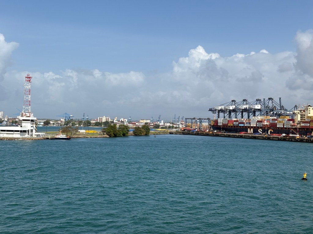
This is another big container port from the look of those cranes and I understand it used to be where the Cruise ships used to dock.
And what is this? It looked like another one of those sunken ships in the water…..
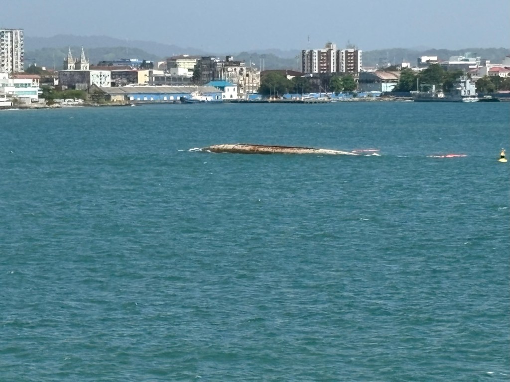
Not very good on the Health and Safety front……
So tomorrow is another sea day. The sea had turned distinctly choppy by supper time – in fact choppier than we have ever experienced it, I thought.
Tonight the clocks go forward an hour. Definitely an indicator that we are going home……..
